
📍
Your places, mapped
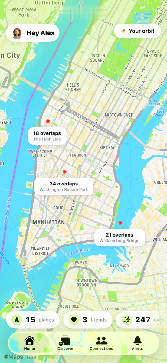
Every neighbourhood your photos put you in, clustered and named, on one map you can scroll through years of.
Your camera roll already remembers every street you've walked. Crossed Paths turns that into a private map — then shows you the places you and the people you love have both been, sometimes years apart.
Everything is built on one honest input: the location and date already stored inside your own photos. Nothing is invented.
Every neighbourhood your photos put you in, clustered and named, on one map you can scroll through years of.
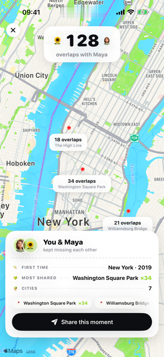
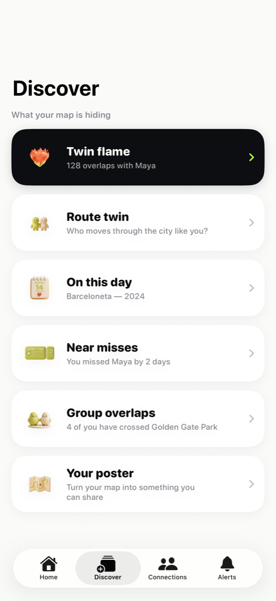
Connect with an invite code and see every place you have both stood — with the first time, the top spot and the city count.
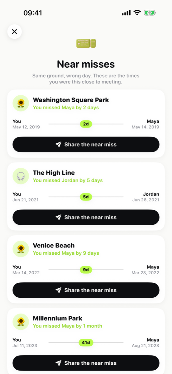
The same ground on the same day — "Washington Square Park, an hour apart" — or the wrong one: "you missed Maya by two days" hits harder than any coincidence.
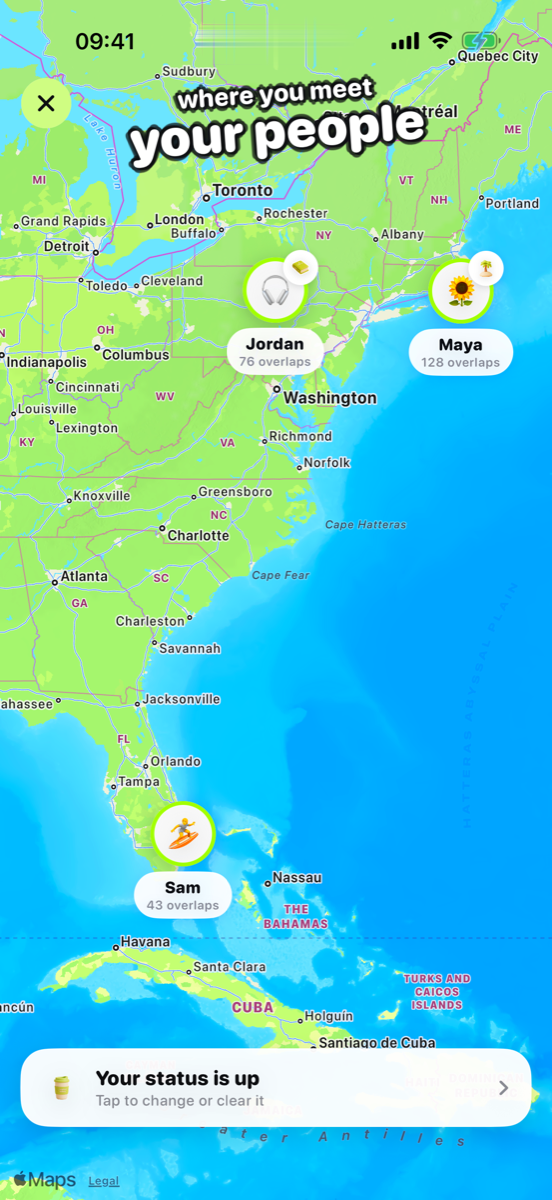
A map of your people, not your places: every connection pinned where the two of you overlap most.
The friend whose movement through the city mirrors yours the closest — or an anonymous match from your city pool.
Where today's date took you in past years. Free for everyone, computed entirely on your device.
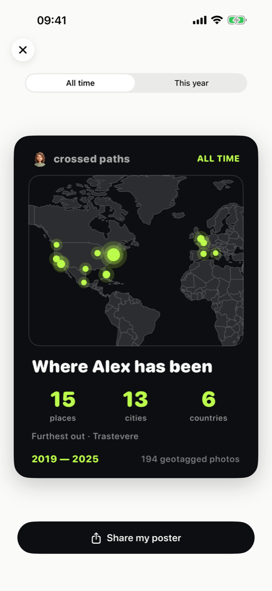
Turn your map into a shareable poster: your places stamped on a real world map with the numbers that sum up your years.
A map you actually want to open, and moments worth sending to the person they're about.
Crossed Paths reads the coordinates and dates stored inside your photos and immediately turns them into map cells — and, for route twins, spots about 100 m across, shown only inside areas you both have photos in. The pictures themselves never leave your phone, are never uploaded, and are never sent to anyone.
There is no account to create and we never ask for your name, email or phone number. Connecting with a friend is a code you choose to share, and you can leave the anonymous city pool with one switch.
No. The app reads only the location and date stored inside each photo. The images stay on your device.
You share an invite code. Once you're connected, the app compares the coarse map areas each of you has been in and shows the places you both visited, with the dates. Route twins can also see the spots, about 100 m across, you have both been to inside areas you share — and you can switch that off.
A place you were both in, but never on the same day. We show the smallest gap we can prove from your photo dates.
No. Your map, your friends and the places you share are free for both of you, and so are On this day and the poster. A subscription adds Close calls, unlimited route twins and everyone who waved at you.
Then there's nothing to map. Crossed Paths only ever claims what your metadata supports — if a place isn't in your photos, it won't appear.